BIS_fnc_strategicMapOpen
Jump to navigation
Jump to search
Description
- Description:
- Creates a strategic map.
- Execution:
- call
- Groups:
- Uncategorised

Syntax
- Syntax:
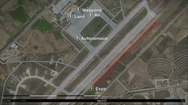
- [display,pos,missions,ORBATs,markers,images,weather,night,scale,simulation,label,missionName,missionIcon] call BIS_fnc_StrategicMapOpen
- Parameters:
- display: Display - Parent display. When empty, mission display is used.
- pos: Position - Default view position in format [x,y,y] or [x,y]
- missions: Array - List of missions, each Array in format:
- 0: Position - 2D or 3D position of mission
- 1: Code - Expression executed when user clicks on mission icon
- 2: String - Mission name
- 3: String - Short description
- 4: String - Name of mission's player
- 5: String - Path to overview image
- 6: Number - Size multiplier for overview image
- 7: Array - Parameters for on-click action. Can be accessed in code with
_this # 9
- ORBATs: Array - List of ORBAT, each Array in format:
- markers: Array of strings - List of markers revealed in strategic map (will be hidden when map is closed)
- images: Array - List of custom images, each Array in format:
- weather: Number - Overcast, from 0 - 1, where 1 means cloudy weather
- night: Boolean - True for night version of strategic map (darker with blue tone)
- scale: Number - Default map scale coeficient (1 is automatic scale)
- simulation: Boolean] - (Optional, default false True to enable simulation while the map is opened
- label: String - (Optional, default "Select a mission") Bottom bar action label text
- missionName: Boolean - (Optional, default true) True to show icon label as a mission name
- missionIcon: String - (Optional, default "\A3\Ui_f\data\Map\GroupIcons\badge_rotate_%1_gs.paa") Path to mission icon texture
- %1 - Animation frame from 0-6 (optional)
- %2 - Index from 1-9 (optional)
- Return Value:
- Display - RscDisplayStrategicMap
Examples
- Example 1:
[
	findDisplay 46,
	[2000,2000,0],
	[
		[
			[2000,2000,0],
			{systemChat format ["%1",name ((_this # 9) # 0)]},
			"1st Mission",
			"This is mission one",
			"Name of mission's player",
			"\A3\Data_F_Exp\Logos\arma3_exp_icon_ca.paa",
			1.5,
			[ player ]
		],
		[
			[1000,1000,0],
			{systemChat format ["%1",name ((_this # 9) # 0)]},
			"2nd Mission",
			"This is mission two",
			"Name of mission's player",
			"\A3\Data_F_Argo\Logos\arma3_argo_logoTitle_ca.paa",
			1.5,
			[ player ]
		]
	],
	[
		[
			[3000,3000,0],
			configFile >> "CfgORBAT" >> "BIS" >> "B_1_A_1_2",
			configFile >> "CfgORBAT" >> "BIS" >> "B_1",
			[],
			10
		]
	],
	[
		"marker_1",
		"marker_2"
	],
	[
		[
			"\A3\Ui_f\data\Logos\arma3_white_ca.paa",
			[0,0,0,1],
			[4000,4000,0],
			8,
			8,
			0,
			"Arma 3 Logo",
			true
		]
	],
	0,
	false,
	1,
	true,
	"Strategic Map Example",
	false,
	"\A3\Ui_f\data\Logos\arma3_white_ca.paa"
] call BIS_fnc_StrategicMapOpen;
Additional Information
- See also:
- ORBAT ViewerBIS_fnc_ORBATAddGroupOverlayBIS_fnc_ORBATAnimateBIS_fnc_ORBATConfigPreviewBIS_fnc_ORBATGetGroupParamsBIS_fnc_ORBATOpenBIS_fnc_ORBATRemoveGroupOverlayBIS_fnc_ORBATSetGroupFadeBIS_fnc_ORBATSetGroupParamsBIS_fnc_ORBATTooltipBIS_fnc_StrategicMapMouseButtonClickBIS_fnc_StrategicMapAnimate
Notes
-
Report bugs on the Feedback Tracker and/or discuss them on the Arma Discord or on the Forums.
Only post proven facts here! Add Note