Chernarus: Difference between revisions
Jump to navigation
Jump to search
No edit summary |
(added map with place names) |
||
| Line 9: | Line 9: | ||
{| border="0" cellspacing="0" style="padding: 0px;" | {| border="0" cellspacing="0" style="padding: 0px;" | ||
|- | |- | ||
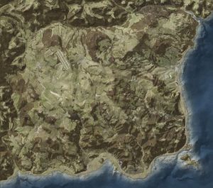
|[[Image:arma_2_island_chernarus.jpg|thumb|left|Map of Chernarus]] | |[[Image:arma_2_island_chernarus.jpg|thumb|left|Map of Chernarus (terrain)]] | ||
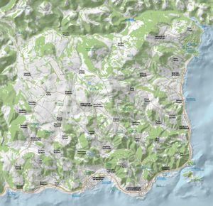
|[[Image:ARMA2_Map_of_Chernarus.jpg|thumb|right|Map of Chernarus (place names)]] | |||
|} | |} | ||
==External Links== | ==External Links== | ||
[http://www.arma2.com/map-of-chernarus_en.html Interactive map of Chernarus (Arma2.com)] | [http://www.arma2.com/map-of-chernarus_en.html Interactive map of Chernarus (Arma2.com)] | ||
Revision as of 13:59, 23 July 2009
General Information
- Chernarus is based on actual real world data
- Chernarus is 225 km2 in size
- Almost 100km2 of Chernarus is covered by forest
- Chernarus has 350 kilometers of roads
- There are a total of 50 towns and villages across Chernarus
- Chernarus has three airfields

