Terrain Processor: Print Composer Tutorial

From Bohemia Interactive Community
Revision as of 12:34, 14 August 2015 by Tom 48 97 (talk | contribs) (Created page with "This tutorial covers the process of creating a raster composition out of vector data in QGIS, suitable as basic spatially correct reference for further editing of your satelli...")
(diff) ← Older revision | Latest revision (diff) | Newer revision → (diff)
Jump to navigation Jump to search

This tutorial covers the process of creating a raster composition out of vector data in QGIS, suitable as basic spatially correct reference for further editing of your satellite textures and surface masks. Supplement to Terrain Processor Tutorial.

QGIS (Geographic Information System) Print composer is free and can be downloaded here: http://qgis.org/en/site/forusers/download.html

Start Print Composer

  • Create new Print Composer (Project -> New Print Composer)
  • Choose created Print Composer (Project -> Print Composers -> ...)
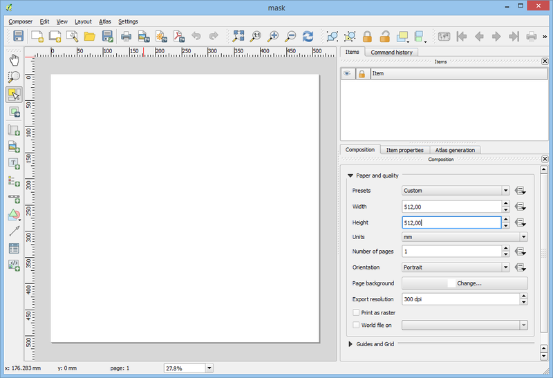
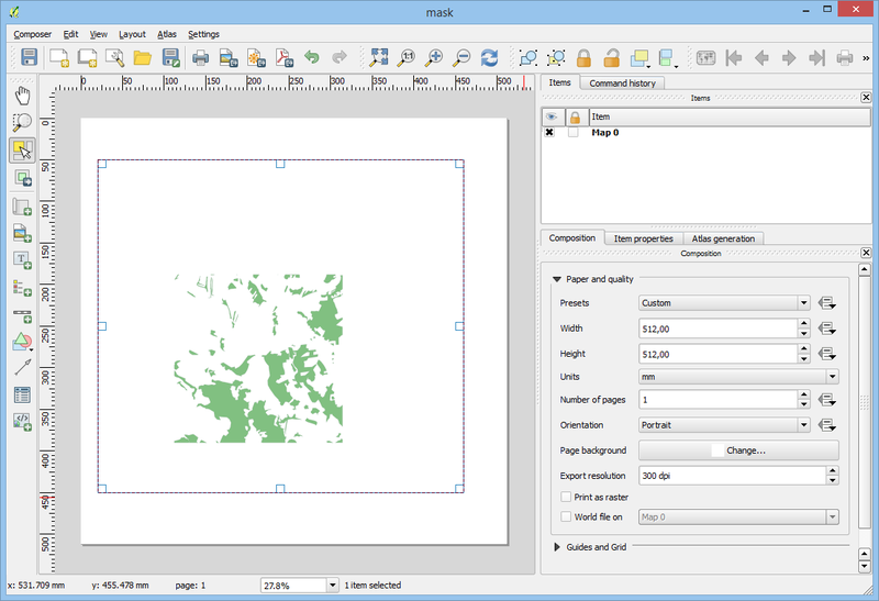
Resize composition to quad size

TerrainProcessor tutorial print01.png

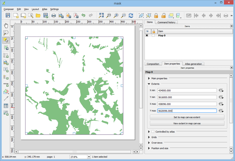
Add new map

TerrainProcessor tutorial print02.png

Set terrain extent

TerrainProcessor tutorial print03.png

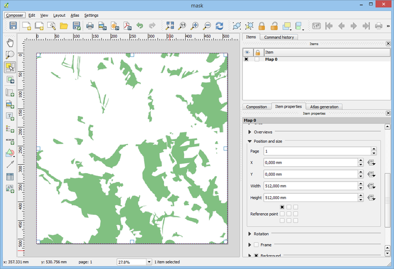
Set map position and size

TerrainProcessor tutorial print04.png

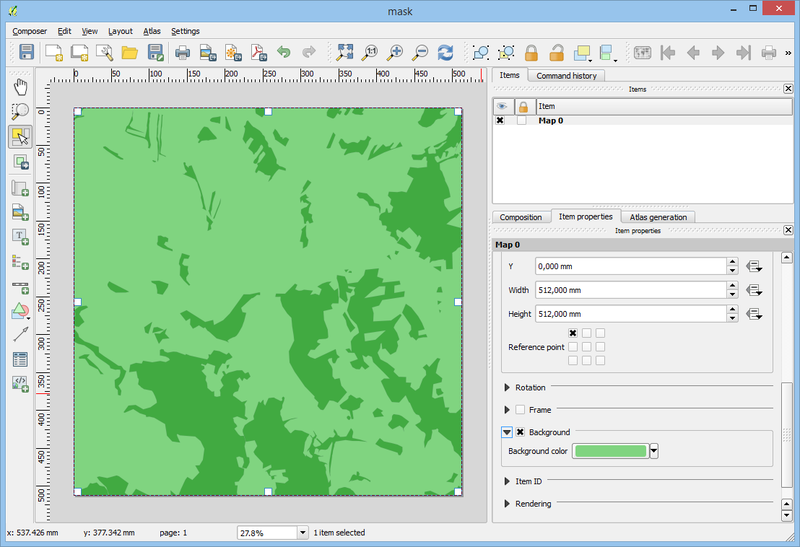
Set background color (grass, ...)

TerrainProcessor tutorial print05.png

Composer -> Export as Image